Land Surveying Services

Rural-Boundary-Surveying-1

Rural Boundary Surveying

A current and accurate boundary survey is an important investment in your rural acreage real estate. Protect and make your property more usable by determining the exact acreage, establishing monumented property corners, and clearly marking the boundary lines.


Urban Boundary Surveying

Subdivision and town lots. A current and accurate boundary survey is an important first step when considering buying, selling, dividing, or developing urban real estate. An urban boundary survey would establish property corners, boundary lines, building set-back lines, utility easements, access easements, and street/road rights-of-way.

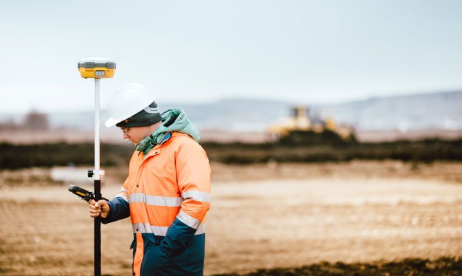
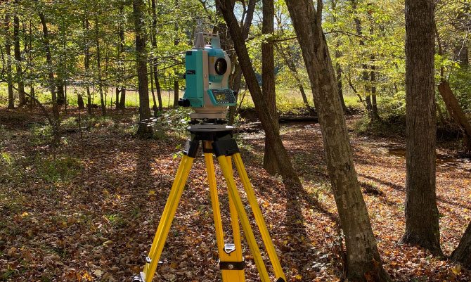
surveyor actively using a land surveying total station on the job site
employee with topographic surveying equipment

Topographic Surveying

All types of pre-design and Civil Engineering support for large and small commercial developments, subdivision design, and drainage improvements.

Flood Certification

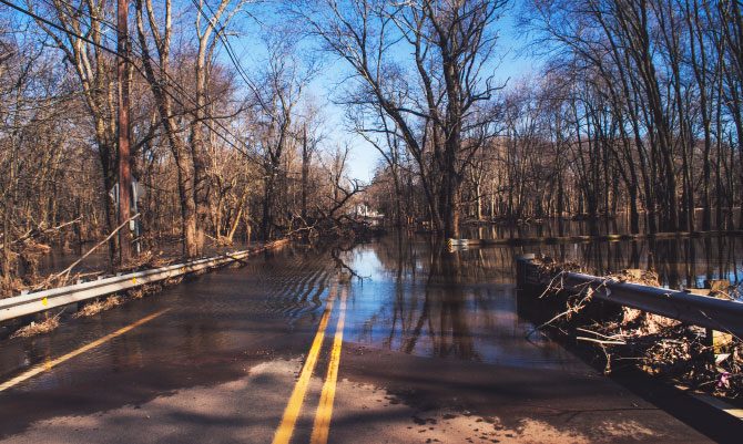
Determine the flood zone status, base flood elevation, and actual elevations of onsite improvements. Prepare and submit appropriate FEMA documents to insurance companies, banks, and KY Division of Water, as may be required for a specific property.

flood water covering a rural road
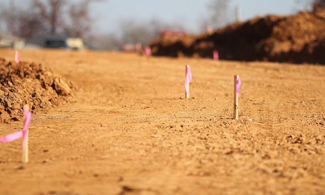
Land Surveying stakes in the ground on a construction site

Construction Layout

Residential and commercial building layout. Construction staking for utilities and street/road improvement construction.

ALTA/ACSM Land Title Surveys

ALTA/ACSM surveys are a complex survey product used by banks, developers, and investors to determine risk, exceptions, and property rights related to high value commercial real estate.

City Street
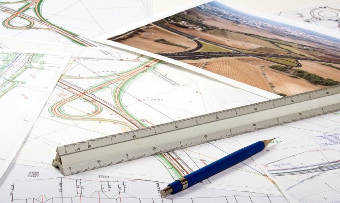
Land Surveying planning documents

Land Planning Consulting

Contact us for services when buying, selling, dividing, or developing real estate.